Select & survey
Identify relevant sites, record survey footprints and capture overlapping underwater images.
MEXICAN-LED · PACIFIC-BOUND
A transpacific scientific expedition turning underwater imagery into lasting, measurable reef records.
PROJECT REEF 3D
Reefs are changing fast. Project Reef 3D documents their structure and visible living community, leaving a record that people can return to, study and compare.
Coral reefs sustain biodiversity, coastal livelihoods and local economies. Recording their condition today creates a foundation for understanding tomorrow’s changes.
One consistent field method. Many ways to learn from the same reef.
Identify relevant sites, record survey footprints and capture overlapping underwater images.
Match shared features across photographs to create a measurable snapshot of reef structure.
Link the model with imagery, environmental observations and expert-validated annotations.
Work with local participants to repeat surveys where feasible and build a record of change.
A DIGITAL SNAPSHOT OF A REAL PLACE
Consistently collected imagery can support the identification of coral, algae, habitat and other visible features.
Wildflow is Project Reef 3D’s partner for data processing, storage and visualization, transforming underwater imagery into accessible 3D reef records.
A shared spatial reference connects observations collected at the same site and grows through collaboration.
A repeatable workflow linking field observations, ecological interpretation and collaboration.
Identify relevant reefs and document survey footprints.
Collect overlapping images using a consistent survey method.
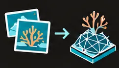
Match shared features to create a measurable reef model.
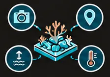
Link imagery with location, date, depth and environmental data.
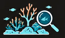
Identify visible coral, algae and habitat features with expert validation.
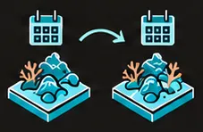
Revisit with local participants, for example every six months where feasible.
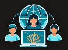
Enable local and remote contributors to annotate and study reef records.
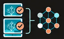
Build validated datasets for models of reef composition, structure and change.
A 3D reef model links imagery, environmental measurements and ecological observations from the same site.

Underwater imagery, location, date, depth and additional environmental measurements.

Partners can repeat the core survey or contribute complementary observations, such as eDNA, acoustics, water chemistry and remote sensing, when available.
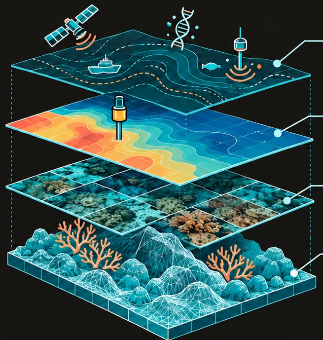
A shared reference that grows through collaboration.
INITIAL PILOT · DECEMBER 2026
Initial survey sites in Quintana Roo, Mexico, will establish the first georeferenced 3D reef baselines and validate a standardized survey, processing and analysis workflow.
The pilot will begin in Quintana Roo, with proposed survey sites in Cozumel, Banco Chinchorro and other selected reefs along the Mexican Caribbean. Site selection will be developed with local researchers, conservation organizations and dive operators, subject to permits and field access.
Repeatable underwater imaging and georeferenced 3D reef records will establish a baseline for future comparisons, while local collaboration will support training and continued monitoring.
If financing is available, the pilot methodology could be implemented at additional sites in Belize and Honduras, in collaboration with interested local institutions and participants.
This regional extension concerns field methodology, training and monitoring.
SCIENCE, COMMUNITIES & SUSTAINABLE TOURISM
The initiative brings together reef monitoring, practical training and the documentation of marine natural heritage. Researchers, conservation organizations, dive operators and coastal communities will collaborate to create accessible 3D reef records, strengthen local monitoring capacity and develop visual resources for environmental education and responsible tourism.
Supporting the UN Sustainable Development Goals: Life Below Water and Partnerships for the Goals.
Reef knowledge
Comparable records to support environmental education, conservation and the understanding of reef condition.
Local continuity
Collaboration with researchers, conservation organizations and dive operators to support future repeat surveys.
Responsible promotion
High-quality photographs and video for public engagement and responsible tourism promotion.
MEXICO TO SINGAPORE
Beginning in the Mexican Pacific aboard S/V Elda, the expedition will apply and refine the survey framework across contrasting reef systems, develop local collaborations and identify sites for future repeat monitoring.
Proposed route. Site selection and timing depend on permits, conditions, partnerships and expedition logistics.
Explore the Mesoamerican Reef pilot and the Pacific expedition in one library. Site records, 3D models, observations and galleries will be added here as the project progresses.
EXPLORE BY LOCATION
Move from regions to broad site areas and explore their collections. Public locations are generalized to protect precise survey positions.
PLANNED FIELD SETUP
Cameras, scuba surveys and repeatable 3D capture.
Site measurements linked to imagery and survey records.
A small remotely operated vehicle for complementary observations.
Renewable power, backup generation and field equipment.
A modular platform, adapted to each survey and collaboration.
THE FIELD PLATFORM
S/V Elda is a 43-foot sailing vessel refitted to support extended surveys across the Pacific, providing access to sites beyond conventional research infrastructure.
The planned setup combines scuba equipment, underwater imaging systems, a small ROV and selected field instruments, with room for partner-contributed sensors. Primarily renewable power, with a backup generator, supports extended operations.
Dr. Maria Angela Dissegna is a Mexican geomatics engineer with over 15 years of international experience in remote sensing, environmental modelling and 3D mapping. As founder and scientific lead of Project Reef 3D, she combines her technical expertise with her experience as a diver and sailor to advance repeatable, collaborative reef monitoring.
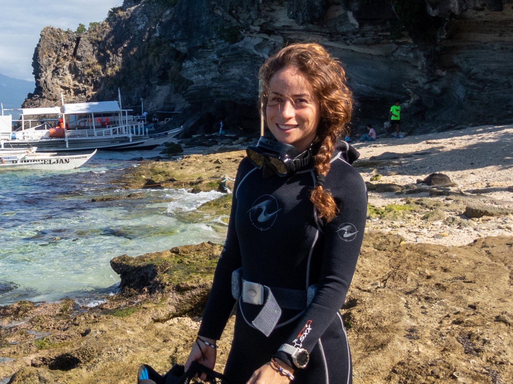
Founder & Scientific Lead
PARTNERSHIPS
A consistent spatial and visual foundation makes room for additional science without expanding the minimum requirements of every survey.
Local researchers, conservation practitioners and experienced divers bring site knowledge and continuity. Scientific and technical collaborators contribute expertise, interpretation and tools. Local and remote participants can help annotate and study reef records.
Analytical methods, environmental sensors, imaging systems, computing, software and data infrastructure.
Site knowledge, scientific coordination, permits, dive operations, field logistics and repeat monitoring.
Anyone can support the expedition with a donation of any amount through our shop. Equipment and practical contributions also help make fieldwork and the onward voyage possible.
Working with a reef, restoration project or marine protected area? We welcome reef practitioners, conservation NGOs, park managers and local teams interested in 3D documentation, monitoring or collaboration.
Talk about a collaboration View the full presentation ↗
DATA PARTNER
Data processing, storage and visualization for Project Reef 3D.
DESIGN PARTNER
Strategic design.
SUPPORT PROJECT REEF 3D
Everyone is welcome to contribute, with as much as they wish. Your donation helps support field surveys and the creation of accessible records of marine habitats.
Donations of over US$100 include one Project Reef 3D T-shirt as a thank-you gift. Choose from the three designs below, then select your preferred color and size in the shop.
PROJECT T-SHIRTDesign preview coming soonYOUR CONTRIBUTION
Choose your contribution and, if eligible, your T-shirt gift in our shop.